
Sparks ZIP Code Coverage
USPS maintains delivery ZIP boundaries, while Census ZIP Code Tabulation Areas, known as ZCTAs, are statistical approximations. For Sparks, the research separates places with documented Sparks mailing addresses from ZCTAs that only touch the city profile or surrounding urbanized area. That distinction matters when looking at a parcel, permit, or historical address. A ZIP can be a good postal clue without describing an incorporated boundary.
| ZIP | Areas Covered | Post Office | Notes |
|---|---|---|---|
| 89431 | Central and east Sparks, historic downtown, Victorian Avenue, library and city-center area | USPS Sparks station, 750 4th Street | Standard delivery ZIP |
| 89434 | Vista Boulevard and adjoining east Sparks commercial and residential area | USPS Vista station, 2929 Vista Boulevard | Standard delivery ZIP |
| 89436 | North and east Sparks, with Spanish Springs and Wingfield-area addresses commonly using the label | Verify the exact street through USPS | Local county sources identify Sparks 89436 |
| 89437 | USA Parkway and industrial territory east of the city | No inspected USPS station result | Sparks mailing-city overlap, not necessarily incorporated Sparks |
| 89441 | Spanish Springs and northeast Washoe County | Verify the address and Corporate Area | Generally outside the incorporated city core |
| 89433, 89442, 89502, 89512 | Nearby Sun Valley, rural, Reno, or county areas with partial ZCTA intersection | Use USPS for the full address | Not proof that every address is in Sparks |
The smaller combined row prevents a statistical overlap from becoming a false local claim. It also keeps attention on the address itself, which is the only reliable way to decide a delivery ZIP. Note: A ZIP label is not a substitute for the postal service, parcel, and jurisdiction checks.
89431 and 89434 in Sparks
ZIP 89431 includes central and east Sparks, historic downtown, Victorian Avenue, the library, and the city-center post-office area. The USPS location results identify the Sparks station at 750 4th Street, with the result shown as 89431-7419. ZIP 89434 follows the Vista Boulevard area and adjoining east Sparks activity. USPS identifies the Vista station at 2929 Vista Boulevard, shown as 89434-8040. Those facility records confirm service locations, not a polygon for every delivery point.
The difference is practical when tracing a former address. Start with the exact street and number, not an assumption based on a neighborhood label. A parcel may have more than one address, and the county map may display only one assessor-recorded address. If a historical source gives only a place name, pair it with a directory, newspaper date, or map before applying a current ZIP code.
North and East Sparks ZIP Codes
Addresses in north and east Sparks commonly use 89436, while Spanish Springs and northeast Washoe County addresses can use 89441. The two labels can sit near newer growth areas, including the Spanish Springs and Wingfield-area references in county material, but they should not be treated as identical to the incorporated city. Use the Washoe Regional Mapping System Corporate Area result to determine whether an address lies in Sparks, Reno, or unincorporated Washoe County.
ZIP 89437 can be used for USA Parkway and industrial addresses east of the city, and the research did not locate a USPS station record for it. ZIPs 89433 and 89442 may overlap nearby north-area or rural geography, while 89502 and 89512 can appear in Census intersections without being Sparks city postal boundaries. These are address-level verification cases, not ZIP-wide conclusions.
USPS Confirms Sparks ZIP Codes
Use the USPS ZIP Code Lookup for the final postal answer on a full street address. It is the official delivery check identified in the research, whereas a ZCTA map is useful only for statistical context. Save the result date when a postal label matters to a record note, because delivery details can change.
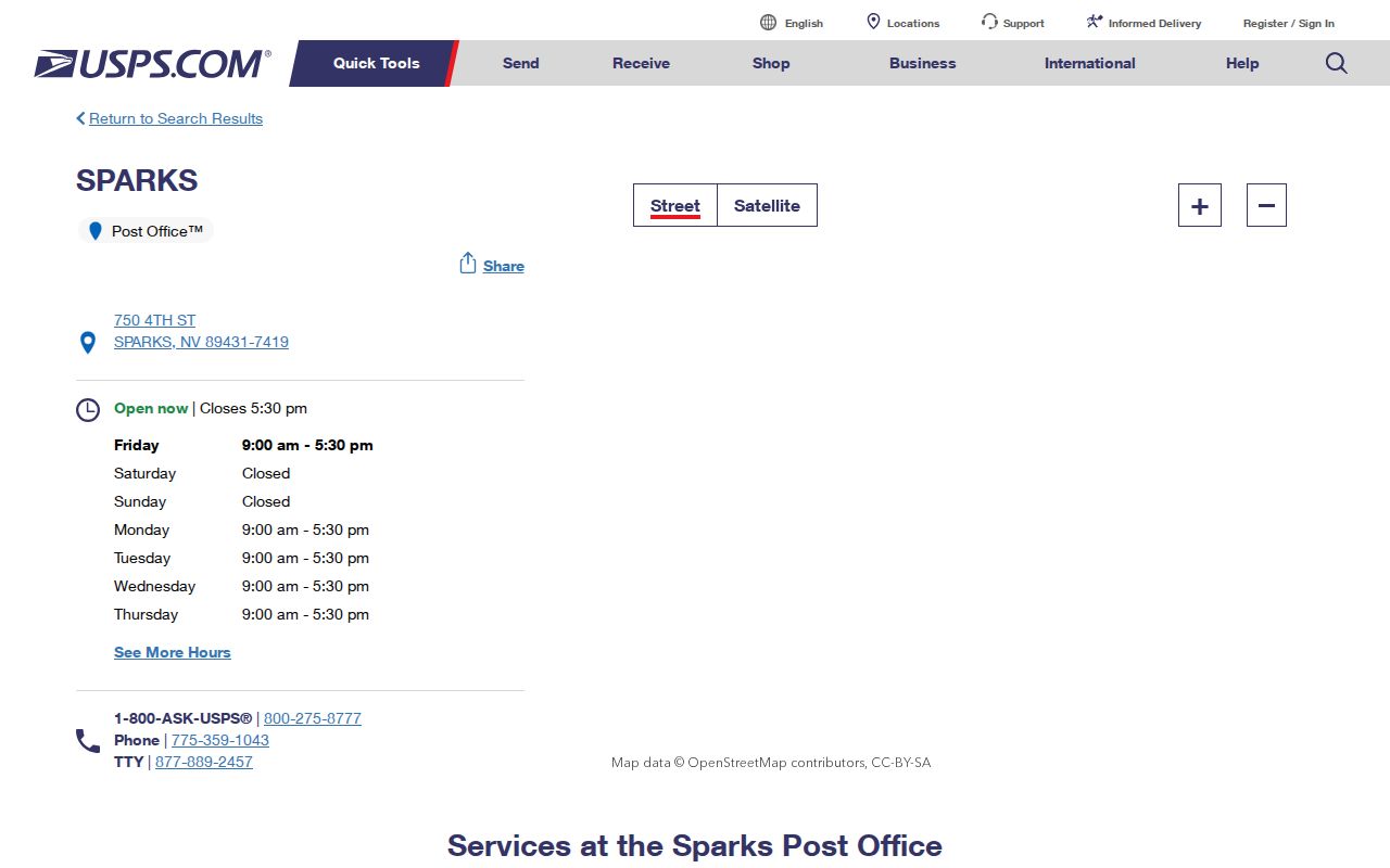
The USPS location result shows the Sparks and Vista facilities used in the coverage table. Follow an address confirmation with the county map and parcel record if the question is about city jurisdiction or parcel geography.
Finding Residents by Sparks ZIP Code
A ZIP is best used to narrow an address workflow, not to create a named roster. The Washoe Assessor does not provide a separate ZIP search button. Its Address or All mode accepts the complete address or address-and-ZIP string, while WRMS is address, street, intersection, or parcel based. The public voter district tool is also address keyed and returns districts rather than names. Each tool answers a different part of the location question.
- Confirm the full delivery address with the USPS lookup.
- Search the Washoe Assessor CAMA system in Address or All mode and preserve the APN, situs, and result date.
- Enter the address or APN in WRMS, select the parcel, and read the Corporate Area result.
- Review the parcel card for the legal description, prior APN, transfer rows, and separate mailing and situs fields.
- Use the Recorder by party name and approximate year only when the parcel information identifies a document trail.
Once a ZIP has narrowed the search to a street, the Sparks street directory has the fuller address-by-address process. The Recorder does not search by street address, legal description, or APN, so the Assessor bridge is essential before a deed search.
Sparks ZIP Code Assessor Fields
Knowing the CAMA fields prevents a ZIP search from being treated as broader than it is. The portal reports parcel results, not a guaranteed ZIP-wide export, and the public source does not state a result cap or exact ZIP parsing rule. Use a complete address whenever possible. The APN is the durable join key between the assessment card, mapping system, permit row, and recorder documents.
| Field or control | Use for a ZIP-related address search |
|---|---|
| Search By | Choose All, APN, Owner, Address, or NBC. Address and All are the relevant starting modes for a complete address or ZIP string. |
| Omit Closed Parcels | Optional control for a current parcel list; leave it available when following an older APN. |
| Search text | Enter the full address, APN, owner variation, or permitted wildcard pattern. |
| Result sorting | APN, SITUS, OWNER, and LAST DOC DATE help separate similar address results. |
| Parcel card | Review mailing address, legal description, building and land data, permits, transfers, and valuation details. |
Situs means the physical parcel location. Mailing address means where assessment correspondence is sent. A third key, the legal description, identifies the parcel in the land records. Keeping those values apart prevents a postal label or correspondence address from being mistaken for the parcel's actual city location.
Sparks ZIP Codes and City Limits
ZIP boundaries follow delivery logistics. City limits follow incorporation. ZCTAs summarize Census geography. In Sparks, those three systems can overlap without matching. An address with a Sparks mailing city may be outside the municipal boundary, and a nearby address can fall within a statistical polygon while using a different postal city. The correct order is USPS exact address, WRMS Corporate Area, Assessor situs and APN, then the relevant city or county permit jurisdiction.
- ZIP Code
- A USPS delivery code used to sort mail and describe service areas. It does not establish an incorporated boundary.
- ZIP+4
- An added four-digit delivery detail after the five-digit ZIP that narrows mail sorting for a more precise address segment.
- PO-box ZIP
- A ZIP used for post-office boxes. It should not be assumed to identify the physical location of a parcel.
- Carrier route
- A postal delivery sequence or service grouping, useful for mail operations but not a legal parcel boundary.
WRMS displays parcel and address-point information, but it is not a title record or an occupancy list. Confirm zoning, permits, and boundary questions with the proper city or county office. Note: An assessor map can display one address for a parcel that contains more than one address.
Sparks ZIP Clues in Local History
A modern ZIP can help orient a historical address, but it should not replace the name and place used at the time. Sparks grew from the 1904 railroad-shop relocation from Wadsworth and incorporated in 1905. Early records can use East Reno, Glendale, Harriman, Wadsworth, or railroad references instead of a settled Sparks label. Victorian Avenue and the original railroad reserve are useful anchors, while later subdivisions can bring new plats, prior APNs, and changed postal labels.
For a former address, combine the USPS result with reverse directories at Downtown Reno Library and UNR directories beginning in 1900. Newspapers and census records can bridge a changed street reference. The record chain is postal address, WRMS address point, APN, Assessor card, legal description or plat, then Recorder deed trail. Each stage answers a narrower question than the one before it.
Four Sparks ZIP Record Keys
Keep four values in every careful Sparks location note: the postal city and ZIP, the WRMS Corporate Area, the Assessor situs and APN, and the legal description. They may point in the same direction, but they serve different systems. This simple separation is especially helpful where new subdivisions, multiple addresses on a parcel, or mailing-city labels make a short address look clearer than it is.
Use the fewest details needed for a lawful records question. Do not treat parcel ownership as a list of household members, and do not share protected address or contact fields. If the information needs correction, begin with the office that created or keeps the record rather than repeating it in another source.